
Highest Point In Each State
The highest point in each state ranges from Alaska's Denali at 20,310 feet to Florida's Britton Hill at just 345 feet. These state high points, known as "highpoints," draw a dedicated community of hikers who aim to summit the tallest spot in all 50 states.

Understanding the Highest Point in Each State
The highest point in each state tells a fascinating story about American geography. From the towering ice of Alaska to the gentle rise of Florida, the highest point in each state varies by nearly 20,000 feet. Mapping the highest point in every state turns geography into a game. Summiting all fifty, a pursuit called "highpointing," has become a beloved lifelong challenge that ranges from casual drive-ups to serious mountaineering expeditions.
These summits connect to the larger story of the longest mountain range in the world and the continent's giants. Looking up the highest mountain in each state reveals wild contrasts: some state high points rank among the country's tallest state peaks, while others are surprisingly modest hills. Together, the highest point in every state forms a map of America's varied terrain and a bucket list like no other.
🏔️ Chasing High Points? Give Something Back to the Land. With every order of our nature clothing, we plant three trees and support wildlife conservation. → Shop the Mountain Collection
The Highest and Lowest Points in the US
The extremes between the highest point in each state are staggering. At the top sits Alaska's Denali at 20,310 feet, the highest peak in North America. The altitude of Alaska is in a league of its own; no other state comes close, and the sheer altitude of Alaska skews every national ranking upward. California's Mount Whitney at 14,505 feet and Colorado's Mount Elbert at 14,440 feet follow among the tallest state peaks.
At the other end of the scale, the lowest elevation in the United States is Badwater Basin in Death Valley, California, at 282 feet below sea level, which also makes California remarkable for holding both a 14,000-foot peak and the lowest elevation in the United States within its borders. When people chart the highest and lowest points in the US, that California contrast always stands out. Considered as a whole, the average elevation of the United States is roughly 2,500 feet, though that single number hides enormous variety, from below-sea-level desert, the lowest elevation in the United States, up to the Alaskan ice.
Those contrasts spark some of the most common questions people ask. Does Washington State have a significantly higher altitude than Texas? In terms of peaks, yes, since Washington's Mount Rainier towers above anything in Texas, though much of Texas sits on a higher average plain than people expect. People often wonder whether Washington State has a significantly higher altitude than Texas precisely because the two feel so different to travel through.
Another favorite: does Texas have bigger mountains than Maine? It does, if only just, with Guadalupe Peak edging out Maine's Katahdin. The highest and lowest points in the US comparison shows how misleading a single state can be: the elevation of United States terrain shifts so dramatically that neighboring regions can differ by thousands of feet. Curious about a specific state? The tallest mountain in each state varies wildly, and even the highest mountain in each state list surprises most people once they see how low some states truly top out. Comparing the tallest mountain in each state side by side is half the fun, and it is why the highest mountain in each state rankings spark so much friendly debate among highpointers.
This enormous range is what makes collecting the highest point in each state so appealing. Some, like the tallest mountain in California, demand real endurance and altitude experience. Others are roadside stops. The highest peak in every state rewards planning, travel, and a love of variety more than pure climbing skill, and no two entries on the highest peak in every state list feel quite the same.

The Highest Point in Each State: The Complete List
Below is the highest point in each state, listed alphabetically with its summit name and elevation. From Denali's icy crown to the gentle hills of the Gulf Coast, this is the complete fifty-state rundown highpointers use to plan their journey.
1. Alabama — Cheaha Mountain — 2,413 ft
2. Alaska — Denali — 20,310 ft
3. Arizona — Humphreys Peak — 12,633 ft
4. Arkansas — Magazine Mountain — 2,753 ft
5. California — Mount Whitney — 14,505 ft
6. Colorado — Mount Elbert — 14,440 ft
7. Connecticut — Bear Mountain (slope of Mount Frissell) — 2,379 ft
8. Delaware — Ebright Azimuth — 448 ft
9. Florida — Britton Hill — 345 ft
10. Georgia — Brasstown Bald — 4,784 ft
11. Hawaii — Mauna Kea — 13,803 ft
12. Idaho — Borah Peak — 12,662 ft
13. Illinois — Charles Mound — 1,235 ft
14. Indiana — Hoosier Hill — 1,257 ft
15. Iowa — Hawkeye Point — 1,670 ft
16. Kansas — Mount Sunflower — 4,039 ft
17. Kentucky — Black Mountain — 4,145 ft
18. Louisiana — Driskill Mountain — 535 ft
19. Maine — Mount Katahdin — 5,269 ft
20. Maryland — Hoye-Crest (Backbone Mountain) — 3,360 ft
21. Massachusetts — Mount Greylock — 3,489 ft
22. Michigan — Mount Arvon — 1,979 ft
23. Minnesota — Eagle Mountain — 2,301 ft
24. Mississippi — Woodall Mountain — 807 ft
25. Missouri — Taum Sauk Mountain — 1,772 ft
26. Montana — Granite Peak — 12,807 ft
27. Nebraska — Panorama Point — 5,424 ft
28. Nevada — Boundary Peak — 13,147 ft
29. New Hampshire — Mount Washington — 6,288 ft
30. New Jersey — High Point — 1,803 ft
31. New Mexico — Wheeler Peak — 13,167 ft
32. New York — Mount Marcy — 5,344 ft
33. North Carolina — Mount Mitchell — 6,684 ft
34. North Dakota — White Butte — 3,506 ft
35. Ohio — Campbell Hill — 1,549 ft
36. Oklahoma — Black Mesa — 4,973 ft
37. Oregon — Mount Hood — 11,249 ft
38. Pennsylvania — Mount Davis — 3,213 ft
39. Rhode Island — Jerimoth Hill — 812 ft
40. South Carolina — Sassafras Mountain — 3,553 ft
41. South Dakota — Black Elk Peak — 7,242 ft
42. Tennessee — Clingmans Dome — 6,643 ft
43. Texas — Guadalupe Peak — 8,751 ft
44. Utah — Kings Peak — 13,528 ft
45. Vermont — Mount Mansfield — 4,393 ft
46. Virginia — Mount Rogers — 5,729 ft
47. Washington — Mount Rainier — 14,411 ft
48. West Virginia — Spruce Knob — 4,863 ft
49. Wisconsin — Timms Hill — 1,951 ft
50. Wyoming — Gannett Peak — 13,809 ft
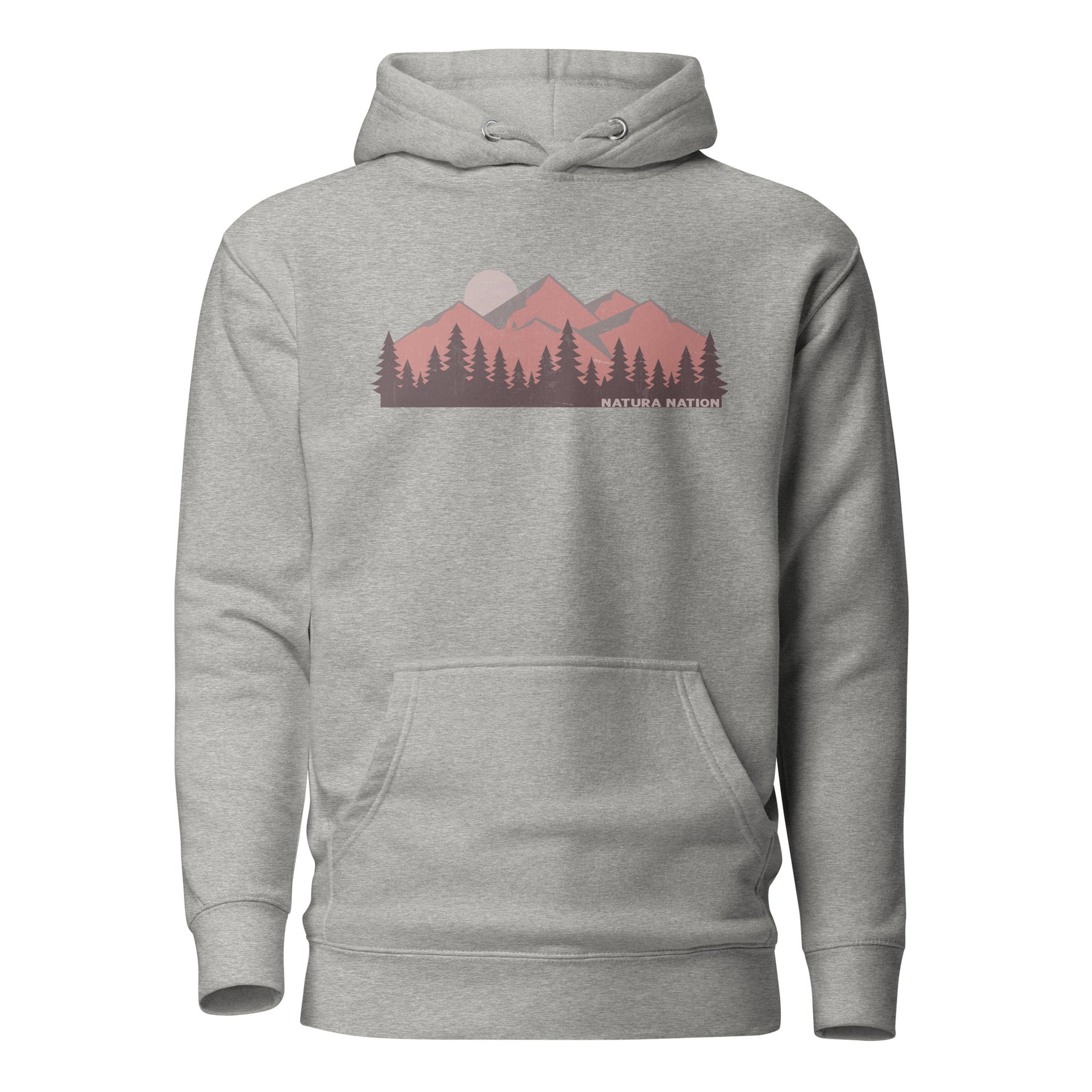
For the ones with a checklist of summits and a full tank of gas. 🏔️
Majestic Mountain Peaks Hoodie
Highpointing is a slow, joyful obsession, one state marker at a time. This piece carries towering peaks over a quiet pine line, made for the people who plan road trips around summit registers and count their high points like treasures.
Wear what moves you. Wear the mountains.
✔ Premium mid-weight comfort
✔ Mountain-inspired design for the wild at heart
✔ 3 trees planted with every order
Famous State High Points Worth Climbing
Several entries on the list of the highest point in each state are destinations in their own right. New Hampshire's Mount Washington is famous for some of the world's worst recorded weather. Washington State's Mount Rainier is a glaciated volcano that doubles as serious mountaineering training. Wyoming's Gannett Peak is among the hardest to reach, requiring a multi-day backcountry trek. Each of these state high points offers a distinct adventure.
For many highpointers, the goal is not just elevation but experience. Comparing the highest point in each state to global benchmarks like how tall is Mount Everest or the legendary Mount Everest puts these American summits into a worldwide context that makes the pursuit even richer.
Why State High Points Matter
Each of the highest point in each state protects a slice of local ecology, from alpine tundra to forested summits to coastal ridges. Highpointing spreads visitors across all fifty states and builds a personal connection to the land. Caring for these summits, and the trails and habitats around them, keeps them wild for the next generation of climbers and dreamers.
Every Summit You Chase Plants Trees Behind You
Highpointing takes you to fifty different corners of the country, from windswept Alaskan ridges to a quiet hill in the Florida panhandle. Natura Nation turns that journey into something the land keeps. With every order of our nature-inspired apparel, we plant three trees and support wildlife conservation, so every state you check off leaves a little more forest standing than before.
Our Mountain Collection is for the people chasing summits across the map, one register box at a time. Wearing what you love can put trees in the ground and fund the wild instead of meaning nothing at all. Discover our impact, or shop our nature clothing and carry the high country with you.

FIFTY SUMMITS, ONE PASSION. NOW SOMETHING TO WEAR IT IN. 🏔️
Find Me In The Mountains Hoodie
Made for the ones who live for the wild and collect summits like memories. Premium, lived-in comfort built for every trailhead and every road between them.
✔ Premium mid-weight comfort
✔ Mountain-inspired design for the wild at heart
✔ 3 trees planted with every order
Conclusion: What the Highest Point in Each State Reveals About America
The highest point in each state spans a breathtaking range, from Denali's icy 20,310-foot crown to Florida's gentle 345-foot rise. Whether you're a serious mountaineer or a road-tripping highpointer, collecting the highest point in each state is a uniquely American adventure that maps the country one summit at a time and reveals just how much wild variety is worth protecting from coast to coast.
FAQs — Highest Point in Each State
What is the highest point in each state?
The highest point in each state ranges from Denali in Alaska at 20,310 feet to Britton Hill in Florida at just 345 feet.
What state has the highest elevation?
What state has the highest elevation? Alaska, home to Denali at 20,310 feet, the tallest peak in the entire country.
What state has the highest altitude?
What state has the highest altitude overall? Alaska, though Colorado has the highest average elevation of any state.
Does Washington State have a significantly higher altitude than Texas?
In terms of peaks, yes. Washington's Mount Rainier reaches 14,411 feet, far above anything in Texas, though Texas has a higher average plain than many expect.
Does Texas have bigger mountains than Maine?
Yes. Texas has bigger mountains than Maine: Guadalupe Peak in Texas reaches 8,751 feet, while Maine's Mount Katahdin tops out at 5,269 feet.
What is the lowest elevation in the United States?
The lowest elevation in the United States is Badwater Basin in Death Valley, California, at 282 feet below sea level.
What state has the lowest elevation?
Florida has the lowest high point of any state. The state with lowest elevation point overall is California, thanks to Death Valley's Badwater Basin.
What is Florida's state lowest point?
Florida's lowest state point is sea level along its coastline, while its highest, Britton Hill, is only 345 feet, the lowest state high point in the nation.
What are the Texas elevation low and high points?
The Texas elevation low is sea level on the Gulf Coast, and the high is Guadalupe Peak at 8,751 feet.
What is highpointing?
Highpointing is the pursuit of reaching the highest point in each state, a challenge ranging from easy drive-ups to serious mountaineering.
How many people have climbed all 50 state high points?
Only a few hundred people have completed all 50 state high points, largely because Denali demands full expedition mountaineering.


